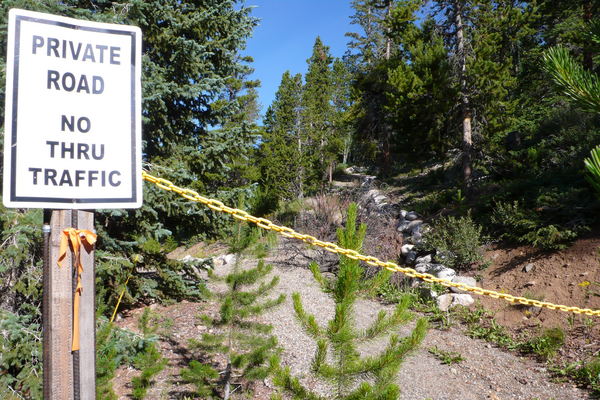
Baldy Mountain Run
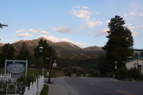
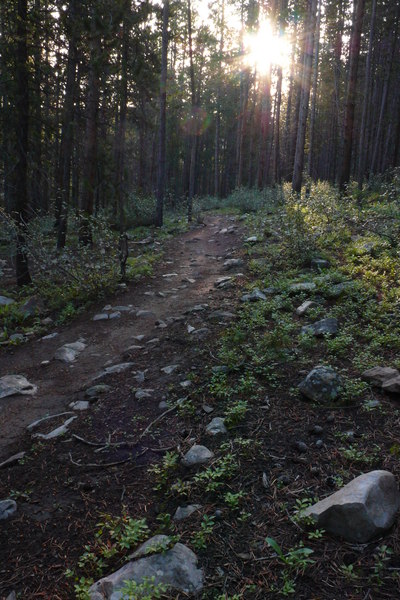
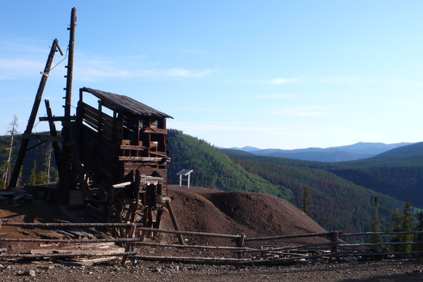
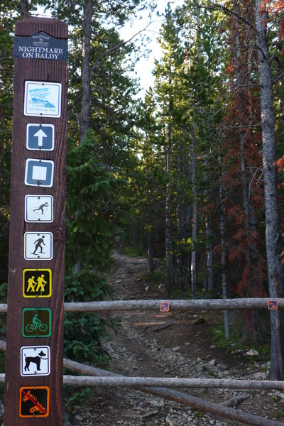
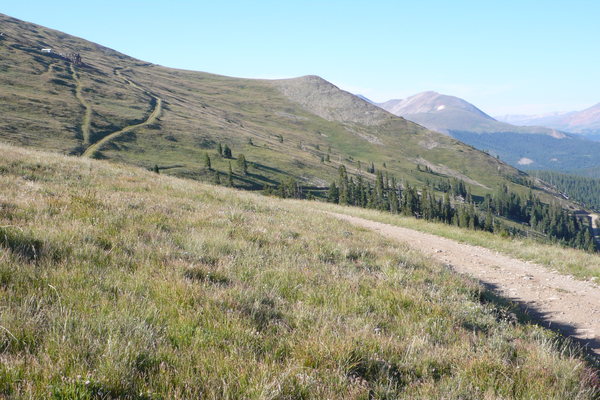
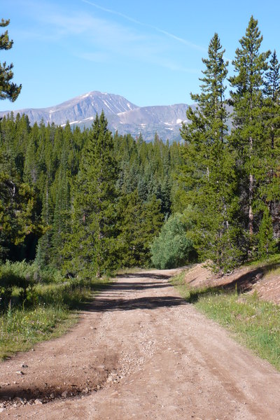
It was 39°F when I went out. It warmed up considerably while I was out, but I was still comfortable in gloves and a long sleeve shirt at the end.The run today was nice. Starting in Breckenridge (9,600'), I headed up to the high point of yesterday's run (the Sally Barber Mine, at 10,600'). Then I took a trail that was marked with the name "Nightmare On Baldy" which went up, up and then up. I topped out at 11,950'.
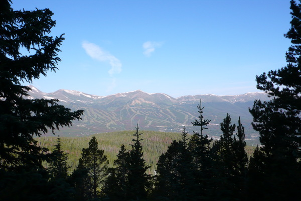
Running around Breckenridge is nice, because the ski slopes are a great point of reference. As I got above the tree line, I had a great view of the town.
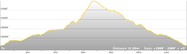
I had looked at several maps to plan this run. Every map seemed to have a different idea about what trails went where on Baldy Mountain. So I had to rely on my keen sense of direction. After about six and a half miles of heading up-up-and-away from home base, I decided I should try to change direction. (After all, this was supposed to be a 10 mile run.)
In the end, the GPS called it a bit over 13 miles. But I stopped it, and forgot to start it for a while. To fill in the gaps, the GPS drew straight lines where there were twists and turns. I think it was close to 14 miles. It included just under 3,000' of climbing.
At home, there's a loop behind my house. It's just under 10 miles, and it has about 300' of climbing. Last week, as I slogged my way around that loop in the hot stickiness of an east coast summer, I thought that I had no business coming out to the mountains to run. But now that I'm here in the cool, dry mountain air, I feel like I could run all day.
(Click on any image to see a larger version.)